Cooler for some this weekend but heatwave continues


Cooler for some this weekend but heatwave continues
Ninoda.com – Weather fluctuations this weekend, yet the heatwave persists. While certain areas of the UK will feel a drop in temperatures, the extreme heat remains a dominant feature across much of England, with heat health alerts still active. A north-easterly wind is strengthening, shifting the hottest regions from the south-east to the west Midlands and south-east Wales.
Heatwave Impact
Friday marked a record-breaking day, with temperatures surpassing 35°C, contributing to six days of 35+°C in 2026. This also pushed the count of 34+°C days to nine, another notable milestone. Parts of Scotland joined the heatwave after three consecutive days of at least 25°C.
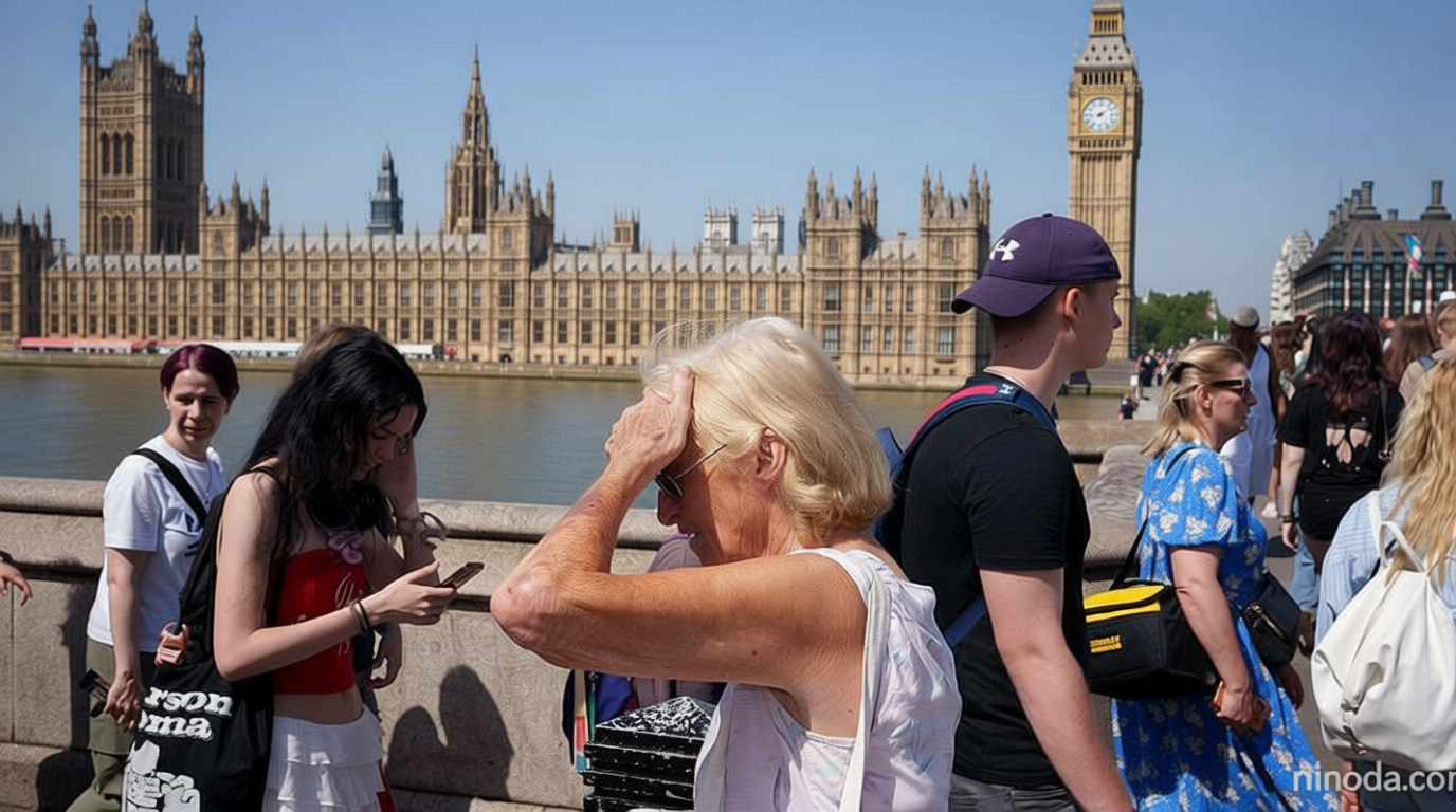
People have been finding all sorts of ways to cool down
Amber and yellow alerts from the UK Health Security Agency (UKHSA) are expected to stay in place until 21:00 BST on Sunday. Five water companies have implemented hosepipe bans due to low rainfall and high water demand, impacting over five million households.
Regional Temperature Shifts
On Saturday, the warmest areas will be in the west Midlands, south-east Wales, and parts of southern England, with temperatures reaching up to 33°C. Eastern England may experience a cooling trend thanks to the brisk north-easterly breeze. Meanwhile, the North Sea coastlines from Northumberland to Suffolk could see clouds and mist, but will transition to sunny conditions by Sunday.
Scotland and Northern Ireland will also witness more cloud cover. Showers in eastern Scotland are projected to fade by Sunday, allowing for brighter weather. However, temperatures in these regions will remain around 23–24°C, with eastern Scotland being notably cooler.
Future Outlook
By Sunday, as the wind intensifies, temperatures in England and Wales will be a few degrees lower. Still, southern England may reach 30°C. The heatwave is anticipated to return next week, though it won’t match the intensity of the previous days. High pressure will remain north of the UK, while winds from northern France will gradually bring warmer air into southern England, pushing temperatures back up to 32 or 33°C.
Current forecasts suggest that at least one UK region will hit 30°C or higher for 12 consecutive days. However, this streak might end by the following weekend. The Met Office’s three-month outlook indicates continued above-average temperatures, with occasional rain affecting northern areas and near-average rainfall expected for July, August, and September.
Water Restrictions
Millions in the southeast of England will face water restrictions due to concerns over low rainfall. Anglian Water has introduced its first ban in a decade, targeting eastern England starting Saturday. Southern Water has also enforced a ban for one million households in Hampshire and the Isle of Wight. South East Water maintains its own restrictions, while Cambridge Water announced its first hosepipe ban in 30 years.
Despite a 13% increase in rainfall during December 2025 to February 2026 compared to the UK average, regional disparities persist. England saw higher-than-average precipitation, but other areas experienced drier conditions.
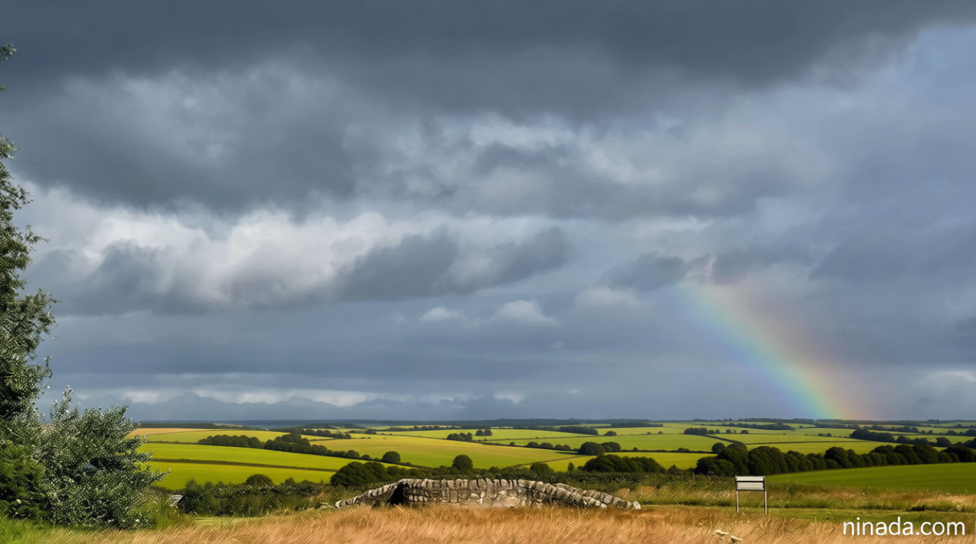
For most places the answer is no.
Looking further ahead, the UK is likely to maintain elevated temperatures, with some hot days forecast, especially in central, southern, and eastern regions. Dry weather will prevail, though light rainfall may occur in northern parts. The Met Office suggests July, August, and September could bring near-average rainfall, with significant regional differences.